LES APPLICATIONS GOOGLE EARTH SONT EXCLUSIVES AU PROJET PATRIMOINE QUÉBEC
Le logiciel "Google Earth" (gratuit) doit être installé sur votre ordinateur pour exécuter les fichiers de superpositions
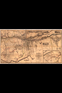
This topographical map of the districts of Quebec, Three Rivers, St.Francis and Gaspé

 Bureau d'Études Généalogiques Nico Lefrançois pour le Projet Patrimoine Québec©